

 Activities & Sports
In Kaş it is hard to take your eyes off the sea. But when you are out walking, it is worth looking down at your feet now and then, and at the hillside around you.
The Story of the Stone
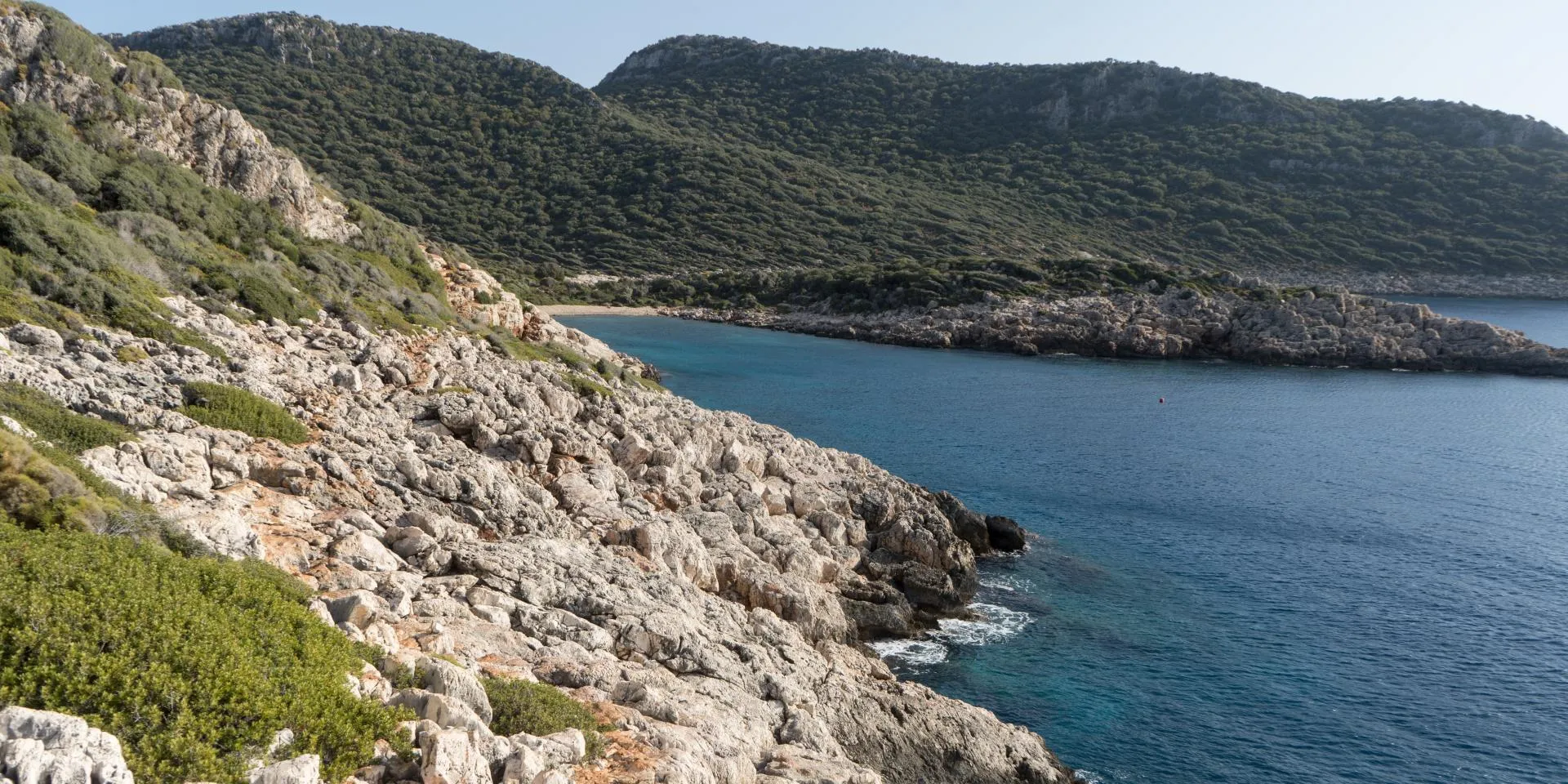
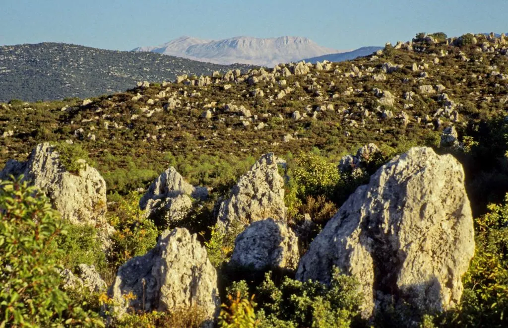
Cracked rock, sharp edges, little grooves carved by water… Most of the region is limestone, and this stone decides why the coast is so deeply indented, where water flows and where paths can go.
Limestone dissolves, over a very long time, in slightly acidic rainwater and groundwater. Cracks widen, grooves form on the surface and hollows open up underground. Geologists call this karstification. You do not need to know the word; it is enough to look at the fine grooves running side by side across a rock and think how patiently water works.
Where Does the Water Go?
Behind Kaş, stretching towards Demre, is a limestone plateau at 700–800 metres. The rain that falls here does not run off as streams; it drains underground through sinkholes, hollows in the rock. That is why you will see almost no rivers around Kaş.
So where does that water go? Some of it comes back up as fresh water beneath the sea. There are submarine springs and sea caves along the coasts of Kaş and Kekova. If you are swimming and the water suddenly turns colder, there is most likely a freshwater outlet nearby.
The Same Hillside, Four Seasons
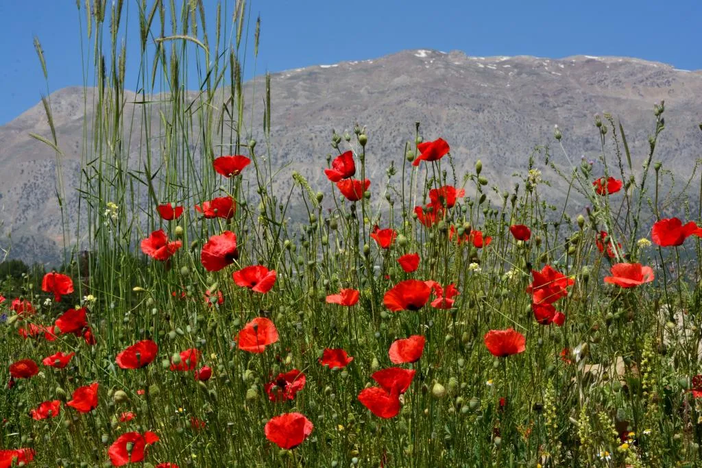
We describe the plants of Kaş one by one in a separate post. Here, rather than memorising names, try something else: look at the same hillside in April, in August, and once more after the first rain. In April you will notice the small flowers coming up between the stones. In August the colours in the same spot have faded, the shadows are sharper and the hot stone has a smell of its own. After the first rain, the earth smells completely different.
The coastal maquis is made up of plants adapted to long, dry summers. It is no accident that their leaves are small, tough or glossy; it helps the plant hold on to its water. Reading that in a book is one thing; feeling it while walking a shadeless slope at noon in August is quite another.
These hillsides end up on the table too. Carob molasses, pine honey and karakovan honey (from traditional log hives) are Kaş’s own produce; if you come across them at a village market on your way back from a walk, buy some.
The higher you go, the more the seasonal calendar shifts. A flowering that finished long ago on the coast may just be starting higher up. You will find the cedar forests and walks around Gömbe in our Gömbe guide.
Before You Walk
It is not only length that makes a path tiring. Slippery stone, loose gravel, sun-exposed slopes and a lack of shade can make even a short walk hard. And the sharp edges of limestone hurt when you fall.
- Wear shoes with sturdy soles; sandals are not enough on these rocks.
- Carry at least one and a half litres of water per person; do not count on finding a fountain on the way.
- In summer, walk early in the morning or in the late afternoon.
- Stay on waymarked paths; it is safer, and it protects the fragile vegetation.
- Do not pick the flowers; the nature of Kaş has far more to tell you when you are not trying to take it home.
Many of these paths are old roads that have been used for centuries; we tell their story in From Coast to Highland.
For Rock Lovers
If you have fallen for the rocks, you do not need to climb them; a careful walk shows you a great deal. If you want to do some sport climbing, there is a limestone wall next to Kaputaş, a few minutes from the road, with routes up to 35 metres. Kaş and Kekova are also known for deep-water soloing, where you climb from a boat and fall into the sea. Either way, go with a local guide or club.
Going down to Kaputaş is a lesson in stone in itself: the cove, 19 km from Kaş, is reached by 192 steps, and the cliffs on either side show everything we have talked about in this post in one place.
Cover photo: Alexkom000, CC BY 4.0, Wikimedia Commons.